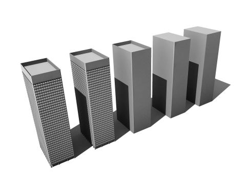
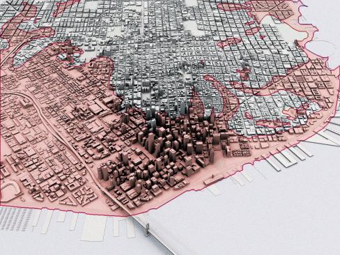
Because reliable models of most of the buildings in the city do …
Because reliable models of most of the buildings in the city do not exist, SOM created its model using a combination of aerial photographs, public information, archival drawings, and, where needed, estimation. The accuracy and detail of the digital model for each building is tracked, and models are switched out for more detailed versions where necessary.
Courtesy Skidmore, Owings & Merrill
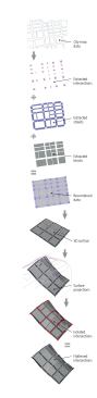
The first thing that had to be modeled was the topography, which…
The first thing that had to be modeled was the topography, which in San Francisco is a varied thing. Discrete orthogonal street and intersection data was overlaid onto a 3D model built from the available contour lines of the city to create the 3D street surface.
Courtesy Skidmore, Owings & Merrill
The model allowed the architects to create a series of visualiza…
The model allowed the architects to create a series of visualizations that can help them consider the limitations on certain projects. This diagram shows the city's current height limits, and highlights both the number of buildings built before current limits were passed and the potential for other sites to increase vertical density.
Courtesy Skidmore, Owings & Merrill
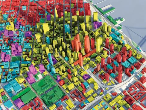
The embedded metadata includes zoning and building typology info…
The embedded metadata includes zoning and building typology information, which can be used by the firm or the planning department to generate models such as this one, which shades buildings according to their recorded land use.
Courtesy Skidmore, Owings & Merrill
San Francisco's vulnerability to seismic events impacts structur…
San Francisco's vulnerability to seismic events impacts structural needs and planning. This map of the known liquefaction zones (shaded in red) highlights the city's most vulnerable areas and can be used to determine best practices for new structural projects.
Courtesy Skidmore, Owings & Merrill
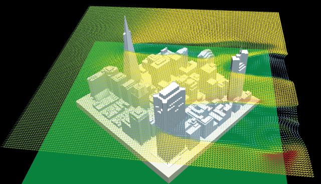
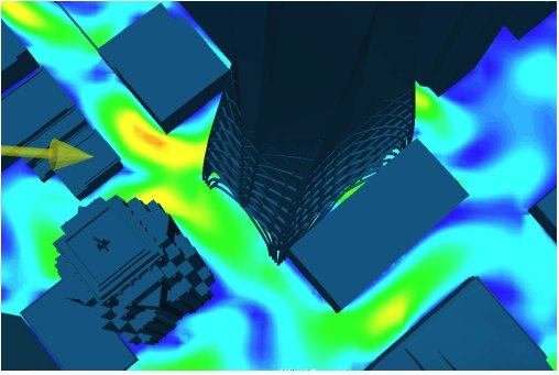
Any city with tall buildings suffers from wind tunnels. This dia…
Any city with tall buildings suffers from wind tunnels. This diagram shows high wind velocity over the financial district and can be refined to show wind speeds at specific sites and intersections. This can help influence the construction of new buildings and public spaces.
Courtesy Skidmore, Owings & Merrill
Wind analysis of specific street corners
Courtesy Skidmore, Owings & Merrill
Vulnerability to rising sea levels
Courtesy Skidmore, Owings & Merrill
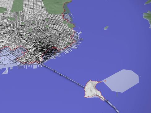
San Francisco's historic shoreline
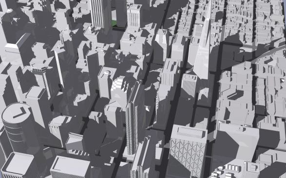
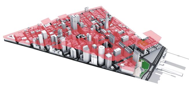
Move over Mercator. When Google Earth debuted in 2005, it was deemed the map of the 21st century. But the San Francisco office of Skidmore, Owings & Merrill was not content with an aerial photographic map, and has independently spent two years developing its own 3D digital model of the city by the Bay, complete with embedded metadata. “This is not just a dumb model,” said Craig Hodgetts. “It really is a tool.”
The model records lot numbers, zoning restrictions, and other variables that SOM can use to create specific views to analyze issues like environmental conditions and their effect on existing and potential infrastructure. What would happen if sea levels were to rise? And do shadows on a site prevent it from being used as a public space as defined by San Francisco city code?
The metadata is periodically checked for accuracy by two individuals in SOM’s Digital Design Group and linked to outside resources such as the city assessor’s office. The model is being used by the city planning department to visualize potential zoning changes and development proposals. “It seems like this is the future of all cities,” said John Ronan. “It forces architects to think about their work on different levels, rather than just model form or energy.” Other SOM offices have created partial city models, but for now, this remains the most comprehensive.
San Francisco Digital Context Model
Architect Skidmore, Owings & Merrill, San Francisco—Craig Hartman, Carrie Byles (leadership); Mark Schwettmann, Will Marvez, Leo Chow (conceptualization/research); Alex Cruz, Mark Schwettmann, Michael Sun, John Farwell, Tsung-Lin Chen, Hyun Joo Choi, Na Young Oark, Soo Jung Park, Juan Rodriguez, David Pekema (construction/drawings)