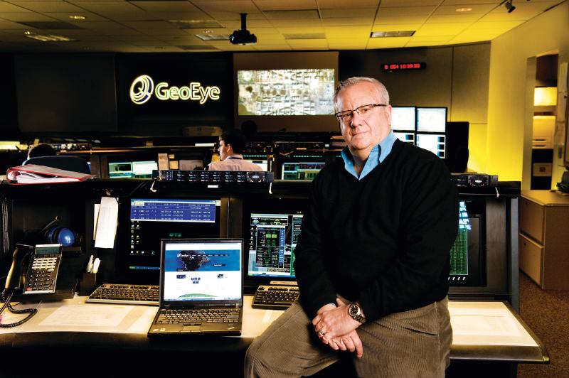
On Jan. 20, 2009, at 11:19 EST, the GeoEye-1 Earth-imaging satellite was 432 miles above and 198 miles west of Washington, D.C. On the ground, thousands gathered for the inauguration. To capture a now-iconic image of the National Mall filled with people, the GeoEye control team tilted the satellite to the east and snapped the shutter.GeoEye, based in Dulles, Va., specializes in geospatial information—bird’s-eye views taken by aircraft or one of its three satellites: IKONOS, OrbView-2, and GeoEye-1. If you’ve used GoogleEarth or GoogleMaps, then you’ve experienced GeoEye’s handiwork. While the company’s images of more than 300 million square kilometers forms the backbone of those Internet services, the same data are used by scientists and governments around the globe. Which is no surprise, considering GeoEye’s work is derived from Cold War technology first commercialized in 1994.
The company isn’t in the spy business, but it can gather intelligence and monitor places over time. GeoEye-1, for instance, can see any point on Earth every three days—and distinguish ground features as small as .50 meters square. For architects and urban planners, GeoEye offers heady looks at cities and construction hotspots.
Subscribers get access to the company’s archives and can use site tools or GoogleEarth to find imagery and GIS (geographic information system) data. “We provide a context you can’t [otherwise] get,” explains GeoEye’s Mark Brender, vice president of corporate communications and marketing. As an example, he cites the images commissioned by a successful retail chain: Views revealed the trends—orientation, parking lot layout, and freeway access ramps—that made for a successful location. Brender also notes the client could peek at nearby competitors and gather similar information. Indeed, the “Spy vs. Spy” era may be over, but operating in nonsovereign outer space, GeoEye is changing the way we look at the world.