
Project Description
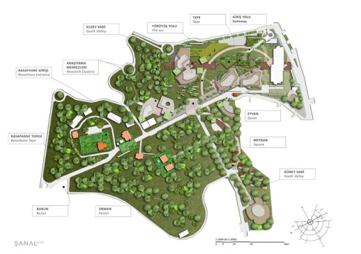
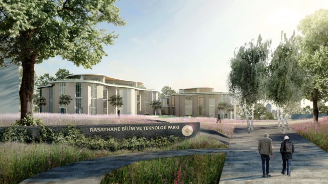
The site is set in the natural ecology of Istanbul’s Bosporus and home to the historic observatory built at the turn of the 19th century.
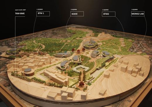
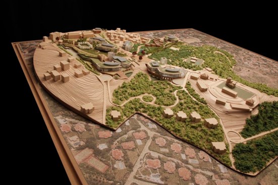
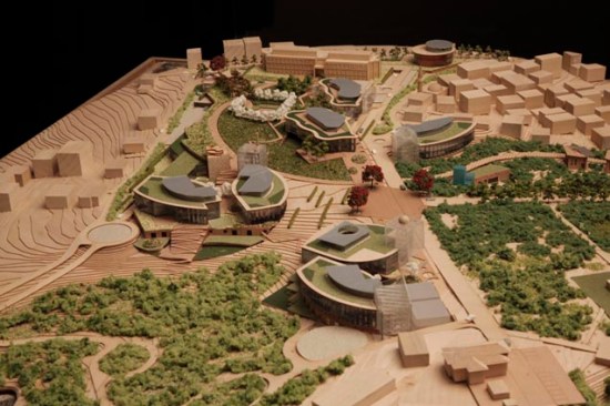
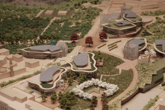
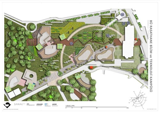
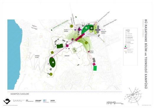
RASATHANE SCIENCE & TECHNOLOGY PARK is envisioned as a mix of university long-term research and advancement of knowledge transfer to application to end-users – a place to engender innovation for the 21st Century. The campus is designed to be simultaneously romantic and high-tech and be a center for advanced multi-disciplinary research for the regional Life Sciences and Earth Sciences communities. This new campus plan in the Üsküdar Rasathane peak unites the ongoing pursuits and goals of Boğaziçi University and Istanbul Greater Municipality’s aspiration to revitalize the urban cores and be host to knowledge centric regional economy.
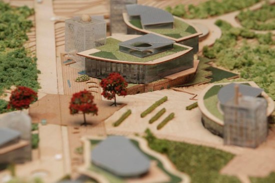
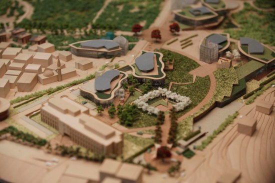
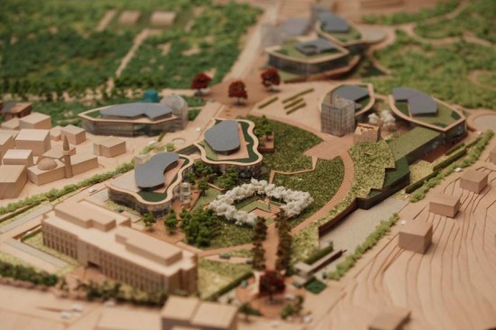
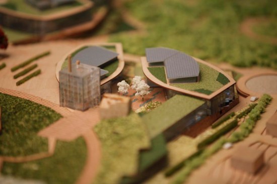
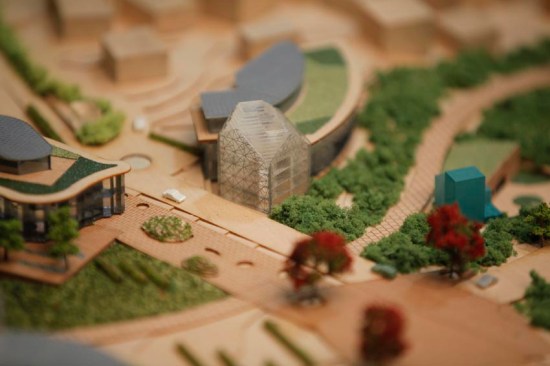
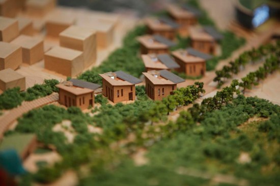
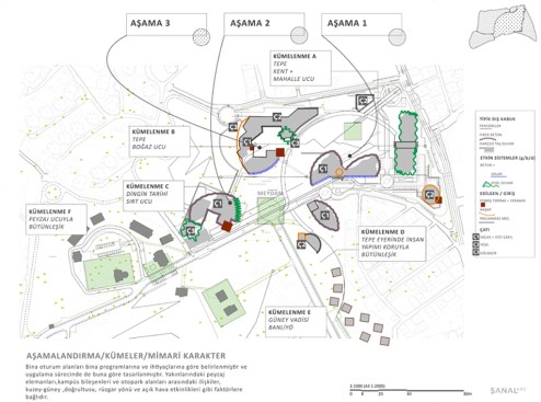
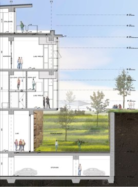
The master plan for the 300,000+ m2 campus calls for a multiple phased full build-out of 30,000 m2 of project based research, laboratories, learning areas, communication areas, social life, visitor areas, cultural activities and open-natural space. The plan for RBTM combines an intricate play between urban design, architecture and complex programmatic requirements of specialized advanced research and social-life. The designing a new advanced science center hub along the Bosporus in Istanbul meant a precise notion for the facilities of a global research hub that could simultaneously work as a dynamic urban design concept and become an inspiring architectural expression. As formulated by BU’s scientific community the design realization would be:
•Inspired by the natural and historical setting of the Bosporus.
•Be a distinguished contemporary experience landmark in regional for advanced research; and
•Become the role-model of human developments that harmonize with the natural world.
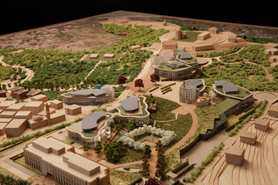
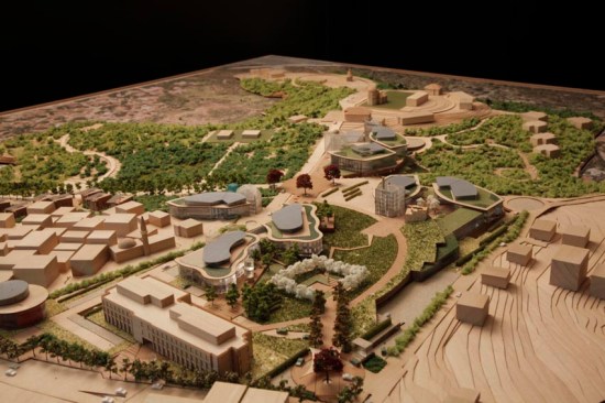
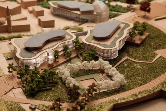
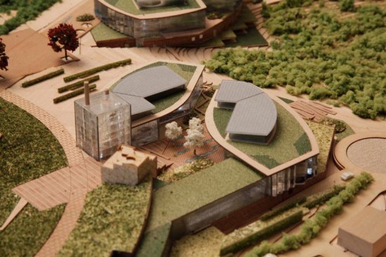
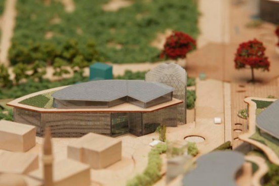
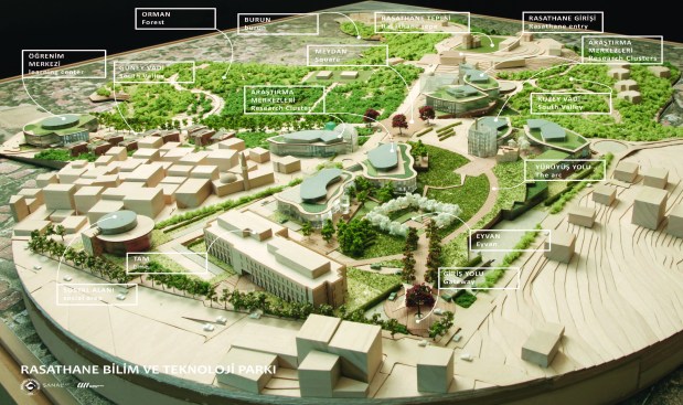
The geometry of the master plan’s organization is derived from the sites natural contours and terrain. The geometry then responds to ‘hot spots’ or research clusters that are situated only on pre-developed/built land on the property. It also organizes axis and walkways to visual axis near and far as well as walkable connection between the research clusters. The campus landmark is the landscape, and to amplify this concept and offer tranquility to the research community a central native species landscape feature is created. All the clusters look onto this feature as well as connect to it through walkways and inner courts. Each cluster is distinguished by a lantern feature to offer the researchers a unique component to their cluster’s community and guide visitors to across the campus. The vehicular circulation is moved to under the clusters and interconnected through the advantages that are offered with the steep terrain. The architectural characters are descriptive to encourage the use of natural and durable materials that are familiar to the Bosporus’ unique character. The massing of the clusters builds on this character offering inner courts to protect from the wind, canopies to mitigate the sun and larger vertical fenestration oriented towards the views and north light.