Sanborn Fire Insurance Maps, Library of Congress
Courtesy Library of Congress
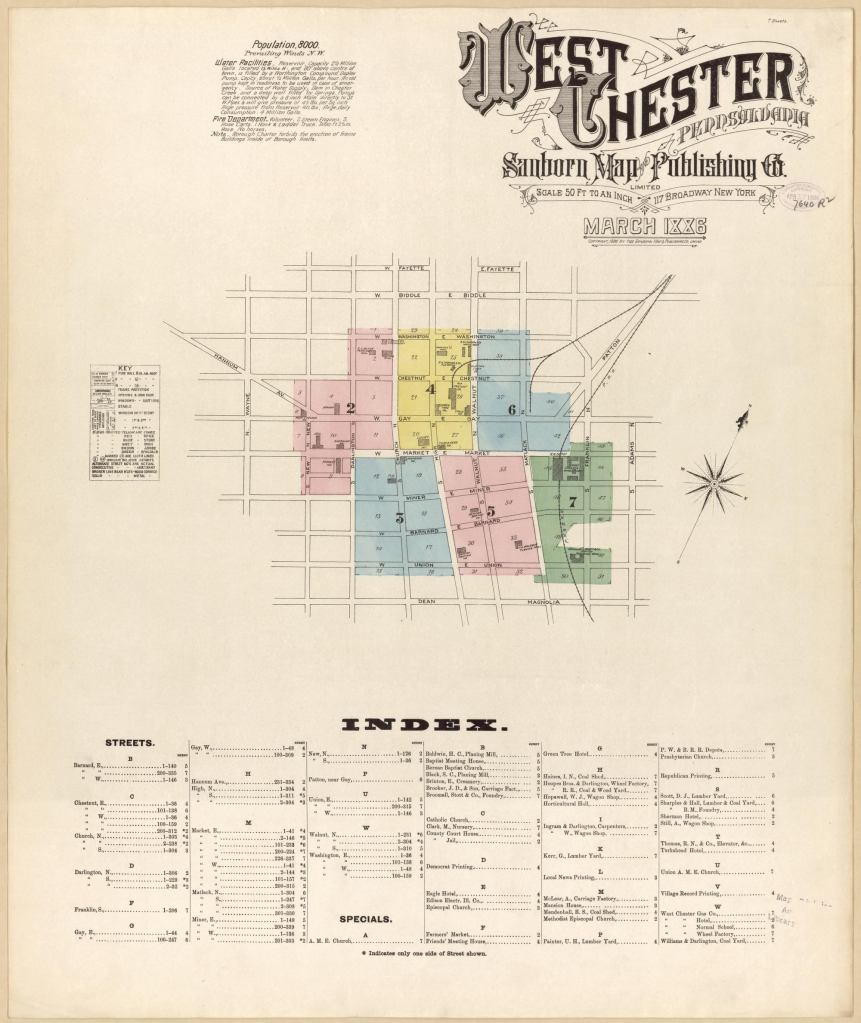
Object For more than a century, the Sanborn Map Co. produced detailed urban maps for the fire insurance industry. (Shown above, West Chester, Pa., circa 1886.) The Library of Congress has the largest collection of these maps, which have proved invaluable to historians of the built environment: almost 700,000 sheets of paper representing 12,000 North American cities. Sanborn still works in the increasingly high-tech geospatial industry, but these documents are a reminder that paper and ink can convey a wealth of information. loc.gov/rr/geogmap/sanborn