Well-designed parks? Check.
Historic preservation combined with support for innovative architecture? Check.
Covered markets all over the city? Check. Check.
Neighborhood libraries and community centers within walking distance for almost every citizen? Check.
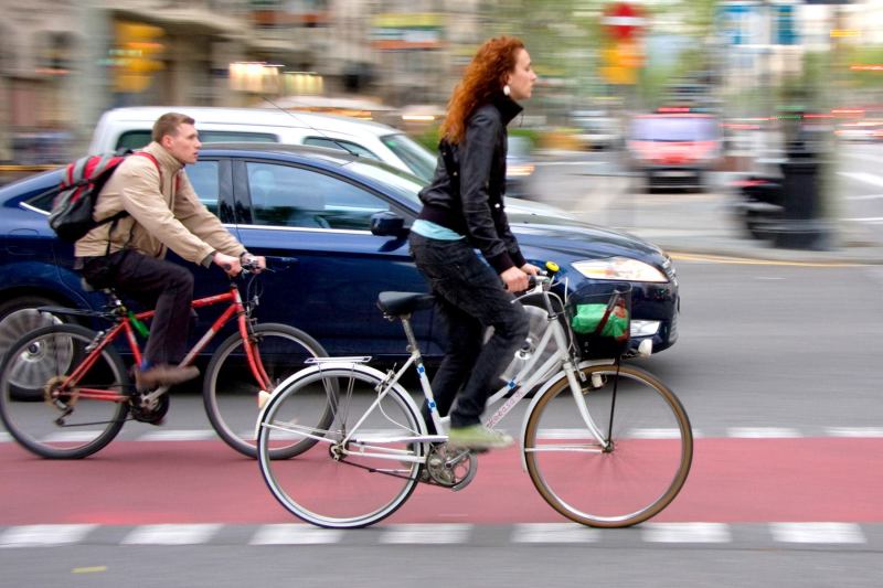
Separate bike lanes? Check.
Barcelona has all that, and now the best-designed city in the world is going one step further: Building on the achievements of more than two decades of intelligent planning, the city is layering on amenities most cities can’t even dream of. Some are snazzy, like free Wifi access points in public spaces (built into compact cylinders attached to gorgeous LED lighting poles, of course, and combined with security cameras). Others are even more innovative and even charming Signage on the sidewalks that help kids get to their schools without needing to be accompanied, and city-sponsored social networks that connect older people both to caregivers, family, and neighbors, are among my favorites.
All of this did not come out of nowhere. After the death of General Franco in 1975, and the advent of democracy with the Spanish Constitution of 1978, Barcelona used its new freedom and age-old wealth to make massive investments in infrastructure. The 1992 Summer Olympics were the excuse for new roads and public facilities, but also for networks of parks and the reconnection of the city to its harbor and seaside.
The improvements were largely made on basis of maps and studies that layered familiar street patterns on top of information about watershed, geology, and climate and vegetation patterns on top. They were largely commissioned by the local association of architects and published in its magazine, Quaderns. This let the City identify places where it could bundle parks with public transportation, community facilities, and roads. It helped define neighborhood boundaries, strengths, and opportunities, based on both natural and human-made characteristics.
During my visit, for example, I took a subway to one of Barcelona’s northern residential areas, and found myself emerging in a park built into a hillside overlooking the course of one of the old streams running from the hills to the north. I then used a clever combination of bridges and escalators to both enjoy the views and gain access to local transportation.
Barcelona’s current chief architect (yes, there is such a position—not a bad idea for any city) wants to build on the big improvements by looking into the city’s grain. Vicente Guallart and his team have spearheaded some of the initiatives I mentioned above, while inheriting others, but they also have bolder plans. Surveying the “spaghetti bowl” of bus lines, they are reforming them into a grid of north-south and east-west lines that run every three blocks. Their aim is to make most of the city accessible with only one transfer. They also want to make the roads in between these arteries pedestrian.
They base their plans on a new set of maps, which takes the ones produced in the 1980s for Quaderns by Ignasi de Sola-Morales as a base, but then go into each neighborhood and identify where there are existing amenities, from public transportation to libraries to day care, within walking distance, thus revealing patterns and gaps they feel need to be filled.
Guallart is not only interested in the fine grain. He has a particular concern for those areas on the city’s periphery where the less wealthy, including many immigrants live. There he is improving parks and suggesting more amenities, but he has also sponsored a design composition among five local architecture schools to renovate an area of self-built and illegal homes not by tearing them down, but by helping to fix them up and regularize them.
I have been coming to Barcelona for over three decades, and keep writing about its urban design innovations. I continue to be astounded both by how well the city works and how beautiful its design is, on every level. Certainly there have been mistakes, such as the attempt to turn an area on the city’s eastern edge, Diagonal del Mar, into a business center anchored by a giant event space, a shopping mall, and a convention center. It doesn’t work and most of it is ugly. But, on the whole, the city seems to have done just about everything right.
All of this costs money, and I wonder why Barcelona can do this, while so many other cities founder. Guallart claims that the city’s population density gives it an advantage because it concentrates the tax base, but it seems to me that the City just doesn’t waste money and invests smartly. It is a living example that it does not necessarily cost more to design well.
Guallart, who fill finish his term in six months, is a passionate proselytizer for an urbanism grounded in a thoroughly analysis of existing conditions and dedicated to the idea that the best urban plans come from an understanding of and attempt to improve the daily rituals and patterns of life of the city’s citizens. Certainly we can all learn from Barcelona’s achievements and ambitions.
Aaron Betsky is a regularly featured columnist whose stories appear on this website each week. His views and conclusions are not necessarily those of ARCHITECT magazine nor of the American Institute of Architects.