Architects and urban planners are being called to think holistically in this era of rapid urban growth, climate uncertainty, and increasing pressure for sustainable development. Design is no longer just about aesthetics or function—it’s about systems, resilience, and place. Geographic Information System (GIS) technology has emerged as a vital tool in this evolution, empowering professionals to better understand, analyze, and shape the world around them.
GIS brings the power of location to the design process. It allows architects and planners to ground their ideas in real-world conditions—linking data on topography, infrastructure, land use, demographics, and environmental factors into a single, dynamic platform. This creates a more complete picture of a site before a line is ever drawn or a model is built. With geospatial insight, teams can identify opportunities and risks, compare development scenarios, and make better-informed decisions from day one.
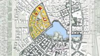
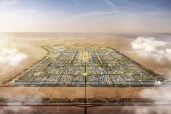
In planning and urban design, GIS supports scenario modeling and data visualization that is both interactive and three-dimensional. Instead of flat master plans or static maps, planners can explore multiple futures—testing the impact of zoning changes, infrastructure investments, or density targets in real time. This data-rich approach helps cities and communities balance growth with sustainability, equity, and quality of life.
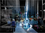
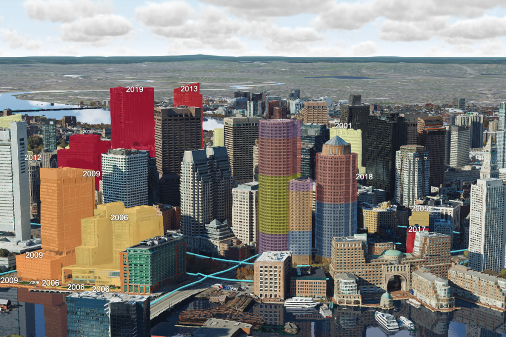
For architects, GIS offers a way to embed their designs into a broader environmental and societal context. Designs can be analyzed in relation to existing infrastructure, public transit, natural features, and community needs. Visual tools help assess viewsheds, shadow impacts, solar potential, and walkability—leading to more responsive, human-centered outcomes. GIS also supports engagement, allowing stakeholders and the public to explore design ideas through intuitive, interactive web experiences.
The value of GIS extends beyond individual projects. At the regional and city scale, geospatial tools help align architecture and planning with policy goals, climate strategies, and infrastructure investments. Planners and designers can work from a shared data environment, building a digital thread from concept to construction and long-term management. Whether modeling green infrastructure, designing transportation corridors, or supporting affordable housing strategies, GIS serves as a bridge across disciplines.
One of the most powerful aspects of GIS is access to authoritative, ready-to-use data. From global environmental indicators to detailed demographic trends, these datasets enrich the design process with up-to-date context. Rather than starting from scratch, teams can build on a foundation of knowledge that’s already been curated and validated—speeding up workflows and elevating the quality of decision-making.
As the challenges facing the built environment grow more complex, GIS provides clarity. It helps planners and architects design with confidence, communicate with transparency, and build for the future. The result is smarter, more resilient communities that are not only well-designed, but well-informed.
Want to see what this looks like in action?
Discover real-world examples and practical strategies for integrating GIS into your practice in Esri’s architecture ebook, GIS for Architecture, Planning, and Urban Design. Download it now and start designing with the power of place.